El Niño Explained: Causes, Current Strength, and Ways to Manage Risk
Based on reporting by The Guardian
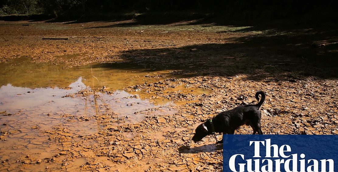
El Niño occurs when the eastern Pacific, normally cool and dry, becomes warmer and wetter, displacing rainfall patterns across the tropical Pacific and producing knock-on effects far beyond that region. It typically develops every three to seven years, though its timing is highly erratic. The most recent event before the current one ran from 2023 to 2024.
El Niño is a natural climate pattern that recurs every three to seven years and can drive droughts, floods, and higher temperatures across much of the world. The current event, still not yet at its peak, has already matched record sea surface temperatures and could become the strongest in a thousand years.
The clearest way to understand the relationship between El Niño and human-caused global heating is to treat them as two separate phenomena that stack on top of one another. Where global warming has already produced drought conditions, an El Niño will intensify them. How exactly the two interact is harder to determine. Climate models drawing on hundreds of years of simulations can help address that question, but observational records are insufficient to settle it, although some palaeoclimate reconstructions indicate that the current frequency of El Niño events is quite unusual.
How strong is the current event
The current El Niño has already broken records and could turn out to be the most powerful in a thousand years. Sea surface temperatures in the El Niño region of the Pacific have already reached the previous high set in 2015 — 3C above average — a level described as almost unthinkable. The event has not yet peaked, so the final magnitude will not be known until the end of the year. Eastern Pacific temperatures are currently on course to reach 4C above average, which would be far beyond anything previously recorded.
Comparing its size against past El Niño events is complicated because the baseline sea surface temperature of the eastern tropical Pacific is itself rising steadily due to global warming. Both human-driven climate change and the natural variability of El Niño are at work, and it is not straightforward to determine how much each is contributing to record ocean temperatures. Together, however, they raise the likelihood of extreme conditions.
Regional impacts and future risks
Around the peak of the event, increased wildfire activity in Indonesia and drought across the Amazon rainforest are likely. The Indian monsoon has already been weakened by the El Niño. Higher temperatures are expected around the Pacific Rim and as far as the United Kingdom, where meteorologists suggest a wetter autumn and winter and possibly a drier, colder spring, though the high variability of UK weather makes that uncertain.
Recent extreme heat in the UK and wildfires in Europe, Canada, and the United States are not thought to have been worsened by the current El Niño, since those events occurred shortly after its onset and there is normally a delay before its effects are felt. Those conditions are more likely to reflect global warming combined with persistent anticyclonic circulation patterns that cause weather systems to stall for extended periods. One published paper suggests the El Niño signal may emerge first through changes in rainfall patterns, with a clearer picture potentially available within the next decade.
Whether warmer Pacific sea surface temperatures will guarantee more intense El Niños is not certain. The impact of an El Niño depends on temperature differences relative to other oceans, including the Atlantic and Indian. Rainfall tends to follow the warmest water: if warmth is spread across oceans, rainfall will be distributed; if concentrated in one basin, rainfall shifts and becomes more intense there. Climate change does make fiercer El Niños more likely, and models indicate that both the rainfall response and overall impacts will grow over the coming decades.
Reducing the risks
Improved knowledge has already reduced vulnerability. During the 1982-83 El Niño, the phenomenon was poorly understood — a ship's crew reported ocean temperatures far off the scale and nobody could explain what was happening. Forecasting systems can now predict events with confidence six to nine months in advance, allowing farmers in Latin America to adjust crops and enabling governments in south-east Asia to prepare infrastructure and strengthen wildfire defences.
The primary response, however, should be reducing greenhouse gas emissions. There may also be geoengineering options, such as altering cloud properties over the eastern Pacific to influence the scale and timing of El Niño events. One paper proposes that generating large amounts of cloud cover could cool the ocean surface in the eastern Pacific and cut short a major event. Whether this would help or cause further problems is not yet clear, because the heat originates from the deep ocean — preventing an event in one year may simply mean it returns the next.
El Niño causes severe disruption to agriculture and the global economy, with the heaviest burden falling on people in poorer countries already experiencing the consequences of climate change. Maintaining high-quality prediction capability — including the collection of real-time data from the Pacific Ocean — is considered important so that communities can receive advance warning and prepare accordingly.